
Columbus ZIP Code Directory Coverage
Columbus municipal address-point data returned 46 distinct non-null ZIP values on August 30, 2026. That is a defensible list of ZIPs found on municipal Columbus address points, not a claim that each whole ZIP lies inside the city or that every address uses Columbus as its USPS city. The City regional service holds separate fields for municipal city, USPS city, ZIP, parcel ID, status, and address components. The groups below preserve the orientations and postal notes documented in that data.
| ZIP | Areas covered in municipal Columbus data | Post office / USPS label note | Record caution |
|---|---|---|---|
| 43004 | Columbus far east | Blacklick and Reynoldsburg labels occur | Verify the exact Columbus address |
| 43016, 43017 | Columbus northwest | Dublin; 43017 is mixed Columbus/Dublin | Columbus postal label can differ from city |
| 43026 | Columbus west | Hilliard/Columbus mix | Check Columbus municipal status |
| 43035 | Columbus far north | Lewis Center/Columbus mix | Confirm Columbus parcel county |
| 43054 | Columbus northeast | New Albany label occurs | Use the exact Columbus address |
| 43065 | Columbus far northwest | Powell label occurs | Use Columbus county parcel context |
| 43068 | Columbus far east | Reynoldsburg/Columbus mix | Columbus postal and city fields differ |
| 43081, 43082 | Columbus north/northeast | Westerville; 43081 is mixed | Verify Columbus city and county |
| 43085 | Columbus far north | Columbus label in municipal data | Still check the Columbus parcel |
| 43110, 43119, 43123 | Columbus southeast, far west, southwest | Canal Winchester/Reynoldsburg, Galloway, and Grove City labels occur | Do not route Columbus records by ZIP alone |
| 43125, 43137, 43147 | Columbus southeast, far south, far southeast | Groveport, Lockbourne, and Canal Winchester/Pickerington labels occur | Use a Columbus parcel and legal description |
| 43201-43207 | Columbus central, north central, east, west central, south central, south | Columbus labels; individual ZIPs extend beyond neighborhood names | Columbus neighborhood name is not a boundary |
| 43209-43215 | Columbus east, central, north central, west central, downtown | Columbus labels; 43212 also spans places outside municipal Columbus | Confirm Columbus city status |
| 43217, 43219-43224 | Columbus far south, northeast, northwest, west central, southwest, north central | Columbus labels | Match the Columbus address to its parcel |
| 43227-43232, 43235 | Columbus east-southeast, far west, north, northeast, east-southeast, far north | Columbus labels; 43230 is Gahanna/Columbus mixed | Review the Columbus municipality |
| 43240 | Columbus far north | Lewis Center/Columbus mix | Confirm the Columbus custodian |
The City's corporate-boundary GIS metadata describes the parcel-based boundary layer used to understand this records geography.
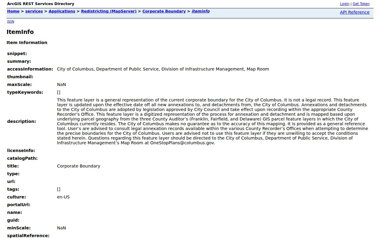
The boundary layer is a general reference tool. It warns that legal boundary questions belong with the appropriate county recorder.
Columbus ZIP Code Geography Has 46 Entries
Postal geometry and municipal geography solve different problems. The City ZIP polygon layer supplies broad postal shapes, while the regional address-point layer identifies the ZIP attached to an actual mapped address. The ZIP polygon alone cannot determine which address belongs to Columbus, and a Columbus postal name cannot determine whether the parcel belongs in Franklin, Fairfield, or Delaware County. Columbus corporate boundaries are updated for annexations and detachments, but the City says its depiction is not the legal record.
Use the ZIP polygon as orientation, then move to the verified delivery address and parcel. This is especially important around 43017, 43026, 43068, 43081, 43110, 43147, 43212, 43213, 43230, and 43240, where the research identifies mixed postal or municipal labels. No authoritative source was located for an exact carrier station, post office assignment, PO-box-only designation, or unique-ZIP designation for each of the 46 ZIPs. Those details should be checked directly with USPS when needed.
The City ZIP polygon layer provides the broad postal geometry shown in this captured view.
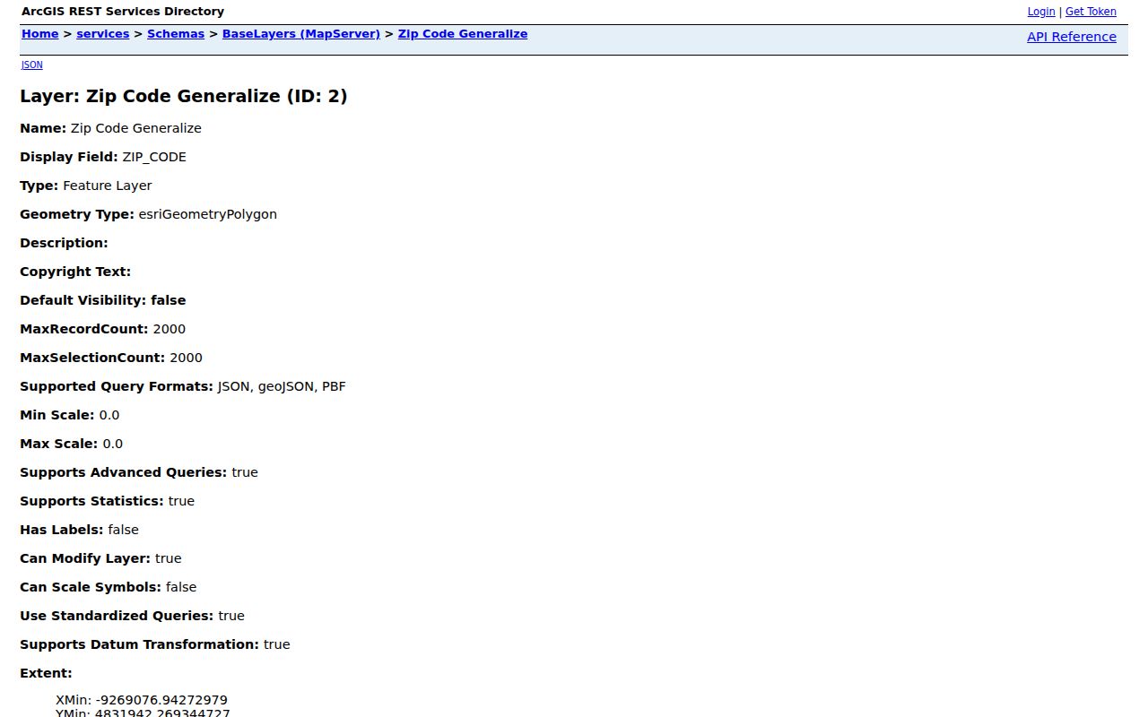
A polygon is useful for a first look across Columbus, but the address-point and parcel records are the stronger match for a specific record search.
Verify a Columbus ZIP Delivery Address
USPS ZIP Code Lookup is the official tool for a delivery check. Its By Address route uses Street Address as the required field, with Company and Apt/Suite optional, then accepts City/State or ZIP as appropriate. The City/State mode requires both fields, while ZIP mode requires a ZIP. The result is a postal validation step, not proof that a particular person or organization is associated with the address.
| USPS lookup field | Entry type | Required route or use |
|---|---|---|
| Company | Text | Optional on the By Address route. |
| Street Address | Text | Required for By Address verification. |
| Apt/Suite | Text | Optional, for a more precise delivery address. |
| City and State | Text/select | Both required in City/State mode. |
| ZIP | Text | Required in ZIP mode. |
| Find | Button | Submits the address, city/state, or ZIP query. |
Keep the response beside the certified or situs address rather than replacing the address field used by the City or county. A postal lookup can catch a delivery mismatch before a parcel, Recorder, or permit query. It cannot resolve a legal boundary, a tax mailing destination, or an older street form. For those questions, retain the legal description and the city or county source that issued the record.
USPS ZIP Code Lookup is shown with the address and city/state search routes.
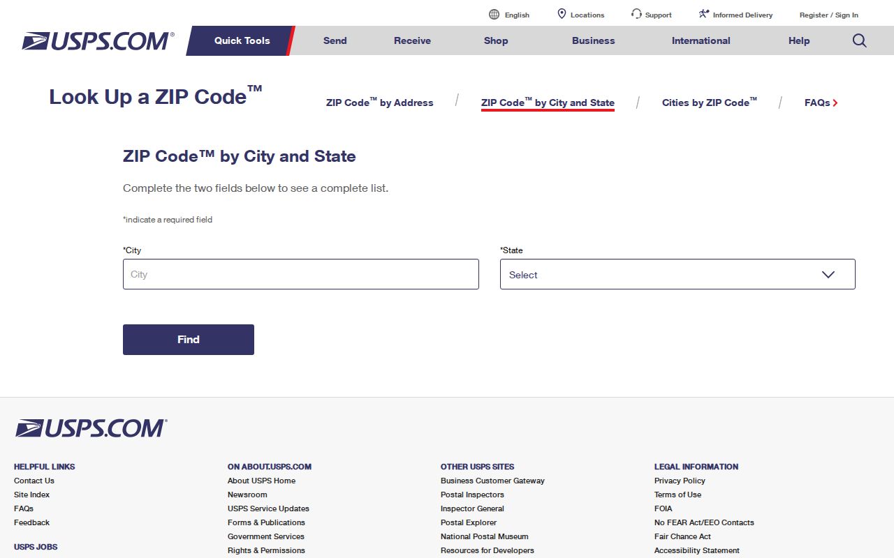
The USPS response checks postal delivery details, then the Columbus address and parcel records supply the jurisdiction needed for public-record research.
Columbus ZIP Code Correction Route
Columbus Building and Zoning Services GIS is the City's addressing authority. It assigns certified addresses to buildings and entrances under City Code Chapter 907, keeps regional street and address records, and feeds City applications. A nonstandard number may reflect a prior recording error or a number that was never certified. Requests for certified-address information go to BZS-GIS@columbus.gov or by fax to 614-645-0082; multi-address projects may take up to 15 business days.
A voluntary address change must come from the owner or agent, fit the existing range, and comply with Chapter 907. New street names follow infrastructure review, an abutting-owner petition, and Council process. Preserve prior street names instead of guessing at a correction. In one documented example, the 1956 City Bulletin changed Lewis Avenue between Eighteenth and Nineteenth avenues to Louis Avenue.
Columbus BZS GIS explains the certified-address role and the City address-record process.
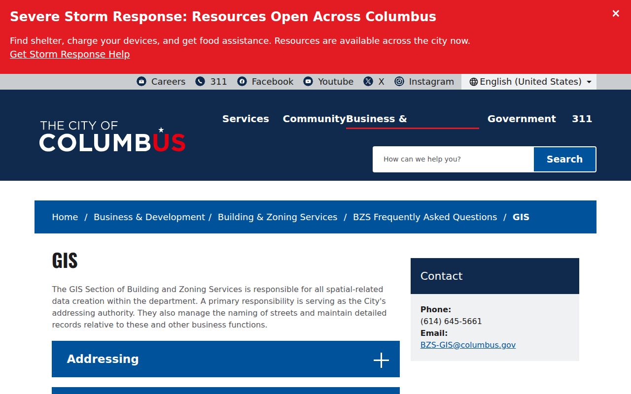
The City address route corrects an address question. It does not replace USPS delivery validation or the county land-record route.
Find Columbus Records Within a ZIP
A Columbus ZIP can narrow a geographic question, but the researched property and voter tools do not establish a ZIP-wide public resident search. The Auditor's documented address form works by street number, direction, street name without a suffix, and unit. The Ohio voter lookup works by first name, last name, and county, not ZIP. The safe workflow therefore converts the postal clue into a verified address and parcel, then uses the record system designed for that key.
- Use the municipal Columbus ZIP list for orientation, then check the exact delivery address through USPS.
- Check the Columbus regional address point for municipal city, USPS city, ZIP, parcel ID, status, and address components.
- Confirm the parcel's county through the Columbus City boundary context and the applicable county parcel system. Do not assume a Columbus ZIP selects Franklin County.
- Use the exact Columbus address or parcel in the Columbus Auditor, Treasurer, Recorder, or Citizen Access route. Keep the situs address separate from any tax mailing address.
- For a Columbus voter-record question, use the Ohio name-and-county lookup or the Franklin County Board's official Election Vault channel, while observing statutory exclusions and protected-address rules.
Once the ZIP has narrowed the area to a verified street, the Columbus street directory gives the fuller address-to-parcel, map, deed, and permit sequence.
Columbus ZIP Code Boundaries and City Limits
Columbus reaches into Franklin, Fairfield, and Delaware counties. The City's corporate-boundary service uses those county parcel layers and directs users seeking a precise legal boundary to county recorder records. A ZIP alone cannot choose the correct auditor, recorder, court, or board of elections. Annexation can affect tax, electoral, municipal-service, and school-district context, even where a familiar postal designation remains unchanged.
The clearest order is certified or situs street address for City permit and GIS work, parcel ID and legal description for county property and Recorder work, tax mailing address when a tax record displays a separate contact destination, and USPS city/ZIP for delivery validation. A different mailing city or ZIP does not establish that an owner changed location. An older deed may use a historic land description instead of a current street address.
- ZIP and ZIP+4
- A ZIP identifies a postal delivery area; ZIP+4 further narrows a delivery segment or point.
- PO-box ZIP
- A postal designation associated with post-office boxes rather than a geographic street-delivery area. Its status must be verified with USPS.
- Unique ZIP
- A ZIP associated with one organization or destination. No such classification was verified for the municipal Columbus list.
- Carrier route
- A postal delivery grouping used for mail operations, not a city-limit or public-record boundary.
Use Columbus Address Keys After a ZIP
The City CSIR public parcel data exposes ZIPCD, tax mailing city/state/ZIP, legal description, ownership, tax district, and parcel information. A consumer-facing ZIP filter in that interface was not verified in the research. That distinction matters: the existence of a ZIP field in public data does not establish that a search screen supports a ZIP-wide result.
Property and recorded-land research should use the data keys the custodians document. The Franklin County Auditor begins with address, owner, parcel, subdivision, map, or advanced routes. The Recorder can use an address, party name, document number, legal description, date, book, volume, page, or OCR phrase. The Treasurer accepts name, street address, or parcel ID. A ZIP supports orientation, while the address, parcel, and legal description supply the durable record bridge.
The Columbus CSIR public parcel service supplies the ZIP, mailing, parcel, ownership, and tax-district attributes in this reference view.
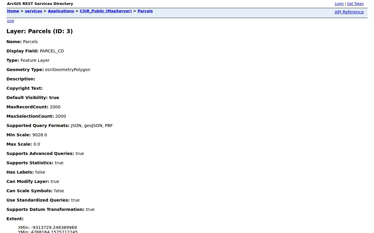
Use the attributes to compare public record keys, then verify a result with the official county custodian that maintains the underlying land record.
Columbus ZIP Addresses and Three Counties
The three-county geography is the most important local boundary fact behind the Columbus ZIP code directory. A city address can sit in a different county path from a nearby address with the same postal orientation. The City corporate layer is updated for annexations and detachments, but it is not legal proof. Use county parcel context before opening an Auditor, Recorder, Clerk, or elections search, especially when the ZIP carries a Dublin, Westerville, Gahanna, Reynoldsburg, Lewis Center, or another nearby USPS label.
For a boundary question, consult the City service for orientation, then the proper county Recorder for legal records. This prevents a common mismatch: treating a Columbus delivery label as if it dictated the jurisdiction that holds the deed, tax record, court file, or voter record. The location of the parcel, not the ZIP alone, decides the next record office.
Note: The City says its corporate-boundary representation is general reference data, so record searches near the boundary need a parcel and county check.
Columbus ZIP Search During the Auditor Upgrade
On August 6, 2026, the Franklin County Auditor reported a modernization of the real-estate record software. Property Search may be slow, incomplete, or return no data while the work continues. The Auditor marked Parcel Viewer, GIS Data Extract, Open Data, direct downloads, and historical parcel sheets complete. A ZIP-driven search should not stop at an unavailable property screen when the address has already been verified.
Use the Parcel Viewer for map placement, the Treasurer for a separate name, street, or parcel route, the Recorder for recorded documents, and the Auditor's public counter when necessary. This is an access issue, not evidence that the parcel or record does not exist. For an existing nonexempt record that a portal does not expose, a focused Ohio Public Records Act request can seek inspection or copies from the custodian.