
Columbus Neighbors by Block
For Columbus neighbors, begin with the parcel geography around one Columbus address. The Franklin County Auditor Parcel Viewer can define a set of adjoining or nearby Columbus parcels. Property Search and the Treasurer then provide parcel-specific owner and tax facts. The Recorder adds documented parties and instruments. A historic Columbus reverse directory can show a listed occupant for one dated edition. Public community resources identify an area commission or participation contact, not a private membership list.
| Source | What It Shows About a Block | Access |
|---|---|---|
| Columbus Auditor Parcel Viewer | Columbus parcel shapes, adjoining geography, layers, and links to property details | Free map with shape, value, and spatial selection |
| Columbus Auditor Property Search | Columbus site address, parcel identifier, owner or tax relationship, and conveyance context | Free address, owner, or parcel query |
| Franklin County Recorder | Columbus recorded parties, instruments, dates, and legal-description trail | Free official index and Columbus counter route |
| Columbus BZS Citizen Access | Columbus address or parcel-linked permit, code, planning, and zoning sequence | Public search or focused records request |
| Area commission resources | Columbus public service area, meetings, liaison and chair contact fields | City map and GIS inquiry |
These sources do not answer the same question. A Columbus parcel result identifies land and a record relationship. A Columbus Recorder filing identifies documented parties. Neither establishes every person who may be at a Columbus address. Keep the result tied to a parcel, date, and document rather than turning it into a household list.
Columbus Neighbor Buffer Choices
The Parcel Viewer’s spatial tool is the precise way to select Columbus parcels around a reference address. Find or identify the starting parcel, enter a distance, press Apply Buffer, then choose parcels wholly inside the Columbus buffer or parcels intersecting it. The difference matters. An intersecting Columbus selection can include a parcel that only touches the radius, while an inside selection is narrower. The results can be exported as CSV, and an Identify result links to a property record.
Franklin County Auditor GIS resources lead to the Columbus Parcel Viewer and its documented selection tools.
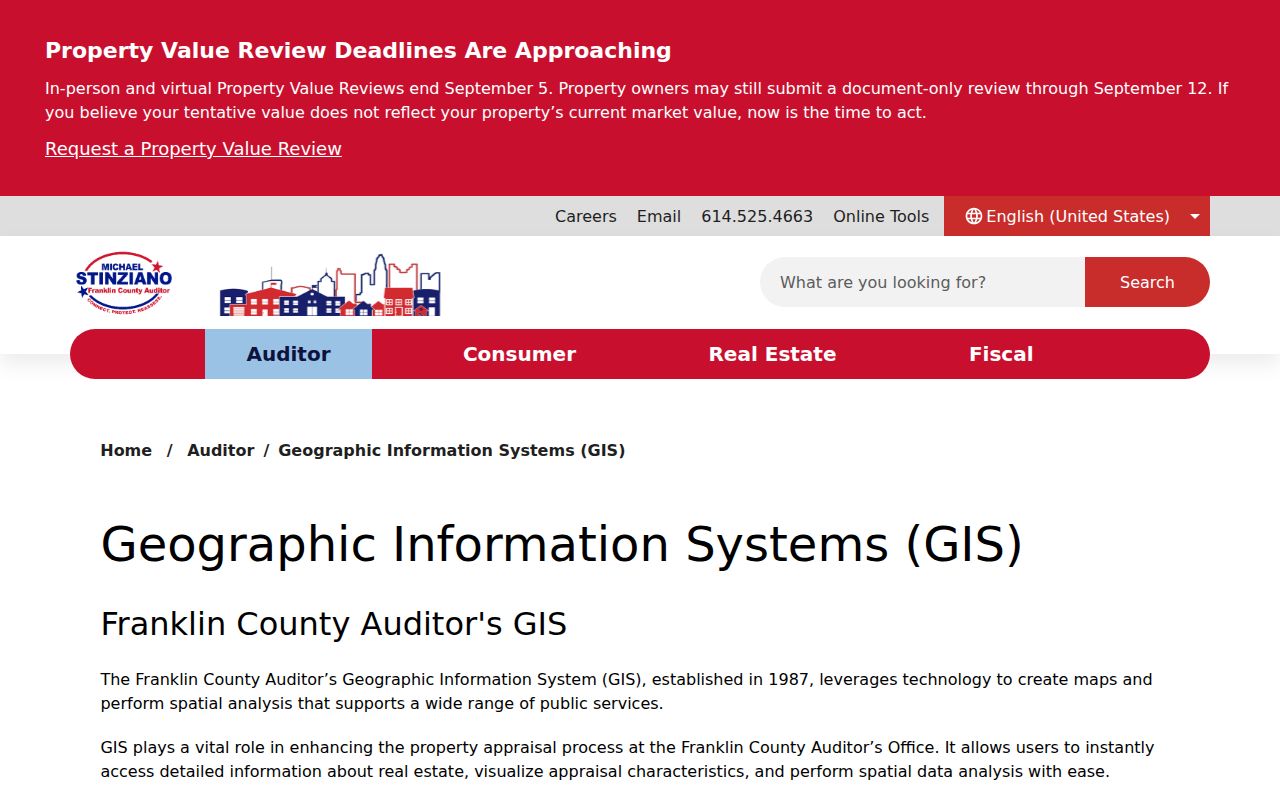
Review each selected Columbus parcel individually. A buffer can cross an alley, a broad road, a multifamily parcel, a nonresidential lot, or a city and county boundary. The Auditor has also warned that its Property Search system upgrade may yield slow, incomplete, or unavailable results, while Parcel Viewer is marked complete. Use the map, Treasurer, Auditor counter, and Recorder as alternate checks during that work.
Map a Columbus Block of Parcels
A narrow Columbus block method keeps the map result separate from claims about occupants. The Columbus flow is address to parcel, parcel to selected surrounding parcels, selected parcel to property card, then property card to a Recorder instrument when a documented ownership trail is needed. A property card is not a title decision, and Recorder staff do not perform title searches.
- Enter the address in Columbus Auditor Property Search or locate it with map Identify. Preserve the exact site address and parcel number.
- In Columbus Parcel Viewer, use By Shape for a visible segment or By Spatial for a measured radius. Choose inside or intersecting only after deciding which block edge matters.
- Open the Columbus property detail for each selected parcel. Compare site address, owner or tax relationship, parcel ID, and any conveyance clue.
- Search the Columbus Recorder by party, date, instrument, or legal description when the record trail needs confirmation. For a whole named street, use the Columbus street directory workflow.
The stable joining fields are parcel ID, legal description, instrument number, and recording date. A displayed mailing field can differ from the site address, so it should not be used as a shortcut to identify Columbus neighbors.
Columbus Neighbor Property Cards
Franklin County Property Search offers Columbus address, owner, parcel, subdivision, map, and advanced routes. Address searching uses street number, direction, street name without a suffix, and unit. The official instructions allow an asterisk for spelling uncertainty or a street-wide result. The Franklin County Treasurer offers a second route for Columbus parcels by name, street address, or parcel ID. Its detail can show the tax year, charges, credits, payments, district, legal-description line, and a Recorder instrument reference.
Use those two Columbus systems as a consistency check. A mismatch may arise from a transfer date, tax-year lag, a different mailing destination, or an input error. The correct response is to verify with the custodian. It is not sound to assume that a single property record tells who is currently inside a dwelling or that a map line describes a personal relationship between neighbors.
- Parcel
- A defined piece of land within Columbus in the county property system, identified by a parcel number and mapped boundary.
- Legal description
- The land description used in a recorded instrument for a Columbus parcel. It may be more stable than an old street address.
- Recorded party
- A person or entity named in a land document connected to a Columbus parcel. The role and document date need review.
Columbus Neighbor Community Contacts
Columbus organizes public neighborhood contact information by area, not by a universal roster. The City Area Commission GIS layer returns a Columbus area name, meeting time and place, Neighborhood Pride Center, and liaison, chair, or zoning-chair contact fields for a Columbus address. Query the address first. Do not assign an area commission from a ZIP because the boundary is geographic and ZIPs cross municipal and neighborhood lines.
Area Commission Map
Find the area commission for an address, then use the published meeting and liaison channel.
Area Commission GIS
Query the City layer for service-area and public contact fields tied to the mapped feature.
Community Liaison
Use the CPD participation contact for block-watch and community-liaison information.
Columbus’s Area Commission map is the source shown here for locating an address-based civic contact.
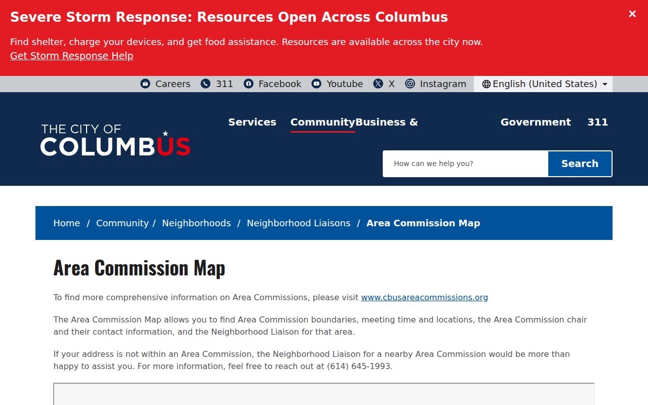
The map supports the public contact layer for Columbus neighbors. It does not identify members, confirm individual participation, or establish which people live at nearby parcels.
Columbus Neighbors Area Commissions
The City GIS service covers 21 recorded Columbus commissions, including Clintonville, Franklinton, Greater Hilltop, Near East, North Linden, University, and Westland. A valid Columbus address query supplies the correct feature and its published fields. This gives a better community route than guessing from a postal label, especially because Columbus reaches Franklin, Fairfield, and Delaware County parcel layers and the corporate-boundary representation is not a legal boundary record.
The City Area Commission GIS layer shows the address-based civic service data documented for this Columbus neighbors image.
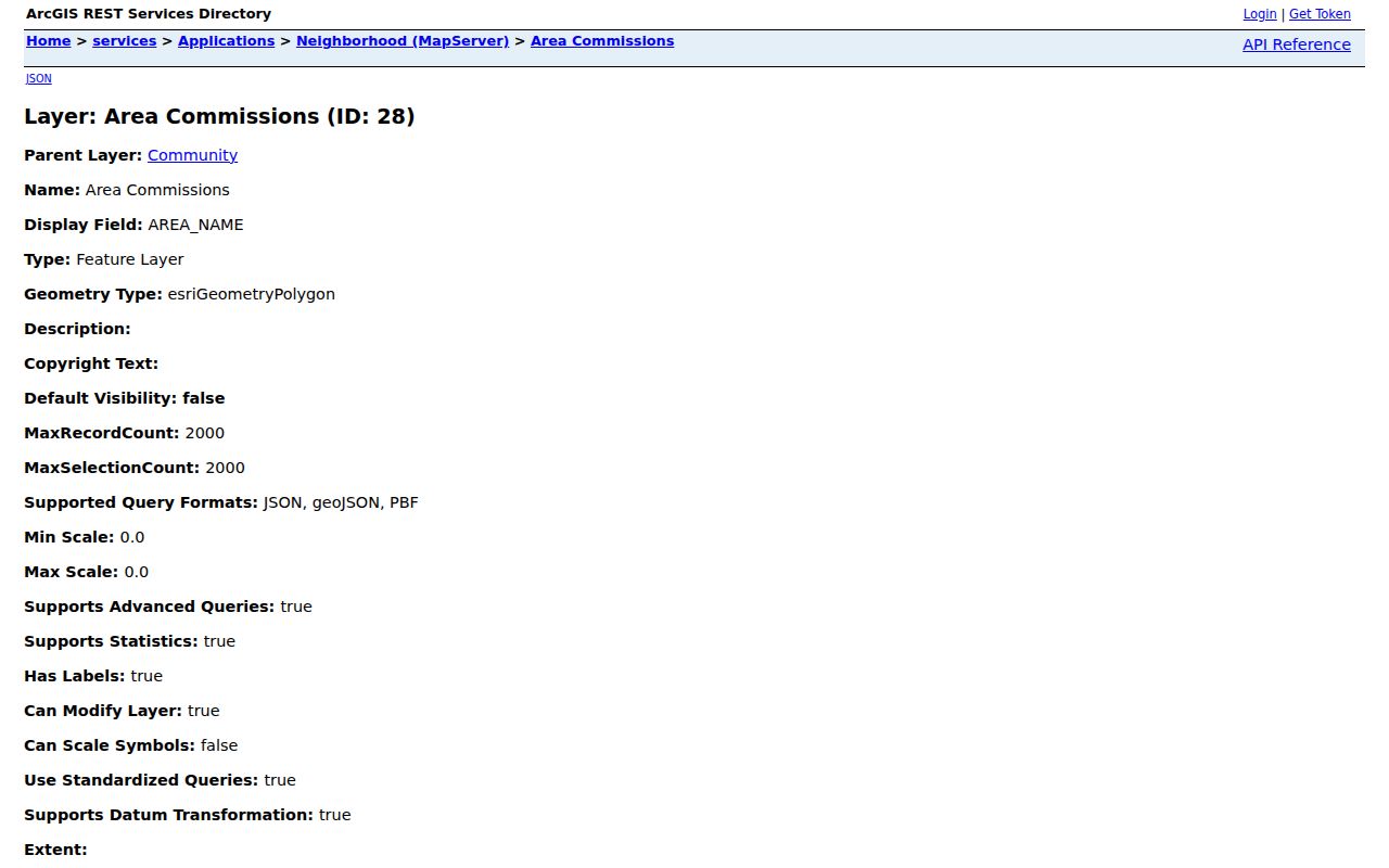
Use the listed meeting, chair, liaison, or zoning-contact fields for voluntary civic participation. The City’s neighborhood guidance describes civic associations as volunteer entities, so a public contact channel is not evidence of a private member list.
Columbus Neighbor Participation Layer
Columbus Police community liaisons provide a documented public route for Columbus block-watch and participation questions. The program assigns one liaison officer in each of 20 precincts and serves 324 community groups and block watches in Columbus. It is a contact resource, not an address directory. City material also documented Brittany Hills Civic Association, East Hampton Blockwatch, Linden Park Block Watch, Northland Alliance, and Sharon Woods Civic Association in a July 2025 Columbus National Night Out grant list. That shows program activity, not a boundary or membership claim.
Columbus Police Community Liaison is the published participation channel represented in this image.
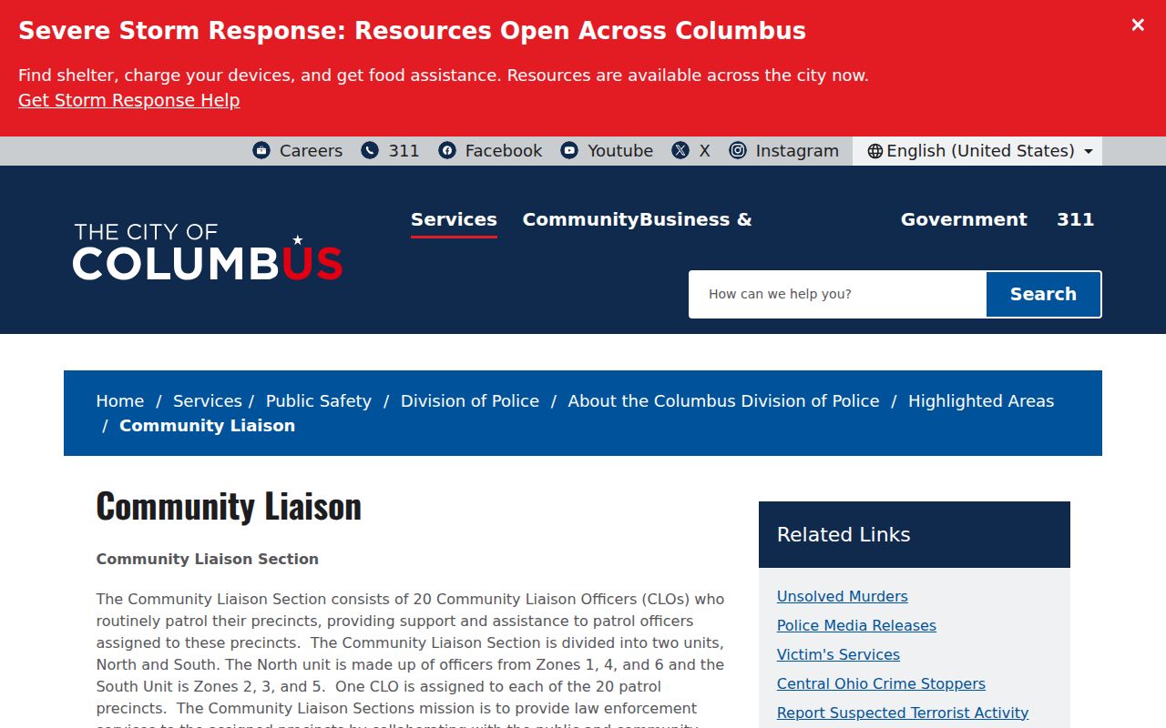
Ask an organization about its public meetings, service area, and joining process. No authoritative consolidated HOA or member directory was found in the research, so do not infer a roster from a neighborhood name or a grant-list mention.
Columbus Neighbor Address Records
Columbus Building and Zoning Services adds a different address trail. Citizen Access searches Addressing, Building, Code Enforcement, Planning, Utilities, Zoning, and related Columbus record types without an account. Search one key at a time for a Columbus address: permit number, parcel number without dashes, or street number and name. Remove date limits for older material. The resulting list for a Columbus search can be downloaded as CSV and commonly shows date, record number, record type, and address.
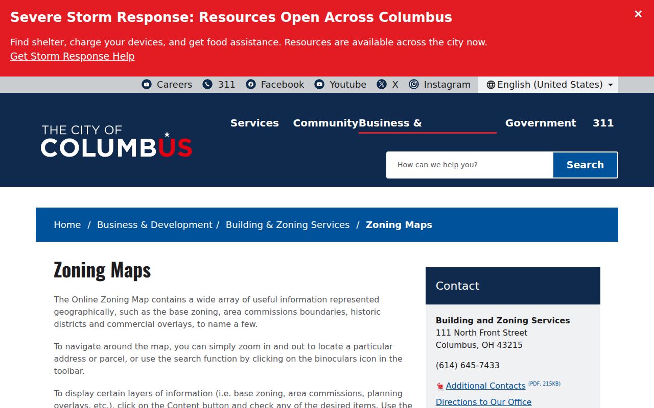
Columbus zoning-map instructions show the address and parcel route used to locate public map context.
A permit, code, or zoning record may establish a documented address event. It does not turn into a neighbor roster. For a historic snapshot, Columbus Metropolitan Library’s reverse directory material can identify a listed occupant for a particular edition year, with the edition and address preserved in the notes.
Columbus Neighbor Source Comparison
Official Columbus sources are best when the question is limited to a parcel, filed document, public program, or dated record. Commercial neighbor-search categories may merge information from many dates and sources. They can conflate people with similar names, retain stale addresses, and cannot override a protected address or an official custodian’s restriction. Treat either category as a lead until the relevant Columbus office confirms a record.
| Source Category | Best Use | Limit |
|---|---|---|
| Official Columbus parcel and Recorder records | Identify a parcel, documented party, instrument, and date | Do not establish every occupant or a full title conclusion |
| Columbus City community contacts | Find a public meeting, service area, or participation channel | Not a membership directory |
| Commercial Columbus neighbor-search category | Possible starting lead only | Mixed dates, possible errors, and no authority over protected records |
Columbus Neighbor Privacy Boundaries
Ohio does not provide a general right to erase lawfully public Franklin County or Columbus court records, but public availability has firm limits. Safe at Home participants use a designated address, and their identity and address information is confidential. Voter records exclude protected identifiers and protected-voter data. Motor-vehicle personal information is not an address-search fallback. Targeted redaction can address specified online identifiers without deleting the underlying official record.
Use a Columbus neighbors search for lawful personal research and voluntary community contact only. Do not publish, repeat, or use an address result to watch, stalk, harass, intimidate, or harm a person. When an address or name appears uncertain, stop and verify it with the custodian rather than extending the search.
Privacy first. A parcel boundary, a recorded party, and a civic contact are different facts. None authorizes unwanted contact or disclosure of private household information.